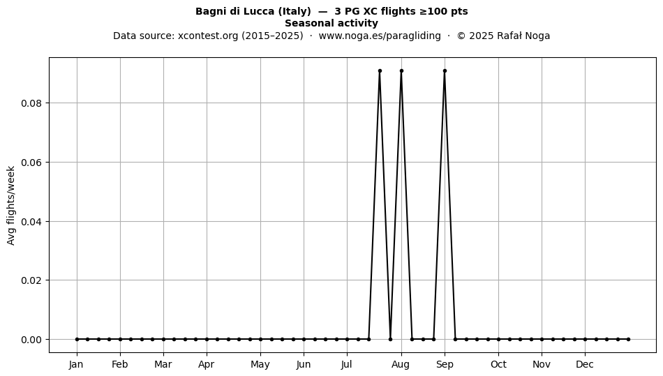
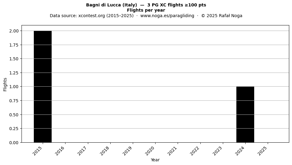
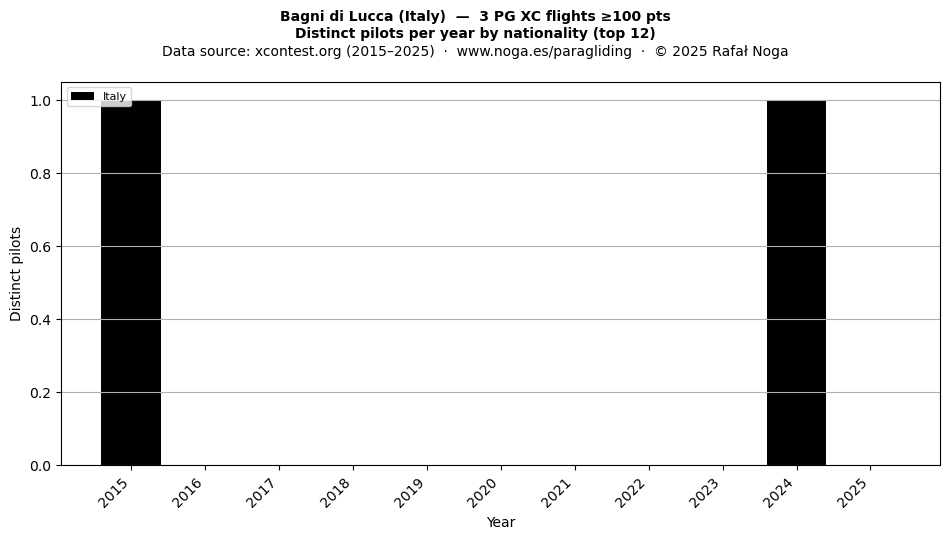
Paragliding XC flights ≥100 pts • Active years: 2015–2018
Issues with oscillations, instability or efficiency in paraglider-based systems, machines or processes?
I support with analysis, modelling, simulation, control, trajectory planning and optimisation of complex dynamic systems.
Coordinates are auto-generated from flight records and have not been individually verified. The indicated location may be approximate or erroneous. Always confirm the actual takeoff site on the ground before visiting. Data provided as-is, without warranty of any kind.
Pilot names are not displayed. This site shows anonymised flight records only. Follow the flight link ↗ to view full details on xcontest.org. To request removal of a record, contact rafal@noga.es.
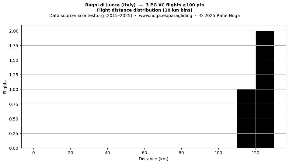
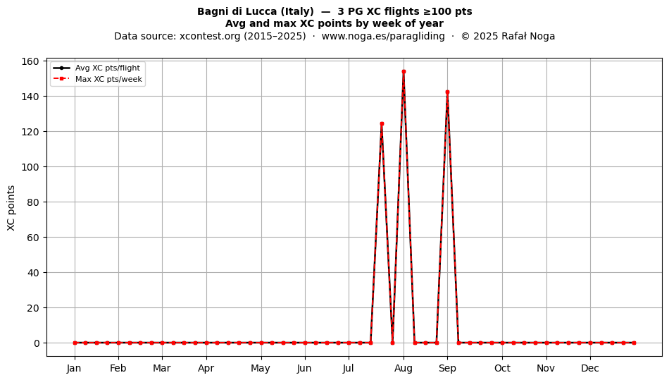
Only flights with ≥ 100 XContest points are shown.
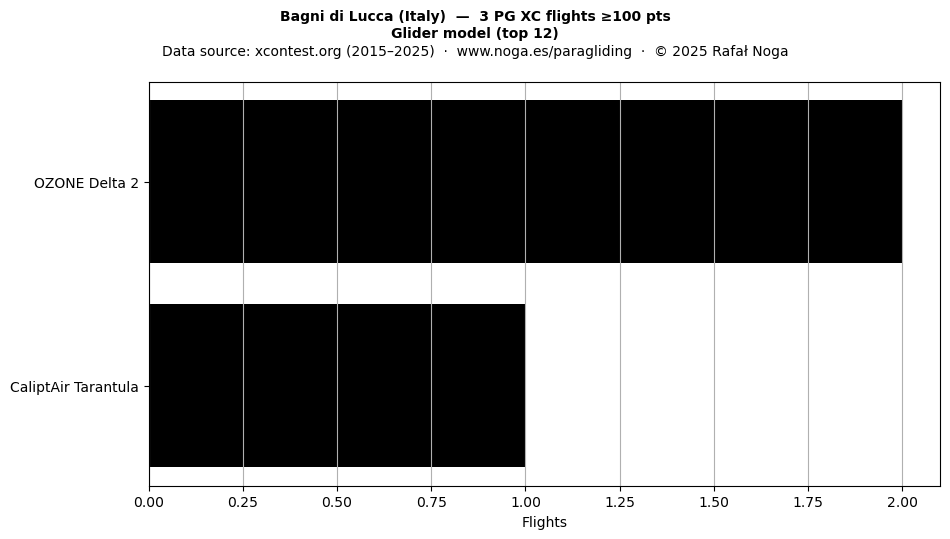
| Date | Dist (km) | Pts | km/h | Glider | Link |
|---|---|---|---|---|---|
| 2018-04-14 | 115.1 | 161.1 | 21.4 | OZONE Zeno | ↗ |
| 2015-03-18 | 107.5 | 129.0 | 21.9 | Niviuk Peak3 | ↗ |
| 2015-02-27 | 87.0 | 121.8 | 20.2 | Niviuk Peak3 | ↗ |
You can offer your contact details as a local site manager or tutor, or leave a tip about conditions, access, and local rules.